In the vast, unforgiving expanse of space, navigation has always been a challenge. Astronauts and spacecraft have relied on complex systems involving ground stations, star trackers, and inertial measurements to find their way. But what if we could use the same GPS technology that guides your daily commute to navigate the Moon? Sounds like science fiction, right? Well, in 2025, NASA and the Italian Space Agency (ASI) turned this idea into reality with the Lunar GNSS Receiver Experiment, or LuGRE. This groundbreaking achievement not only acquired GPS signals on the lunar surface for the first time but also opened doors to autonomous navigation for future missions. As we approach the era of sustained human presence on the Moon through NASA’s Artemis program, LuGRE’s success is a game-changer.
Let’s rewind to January 2025. The LuGRE payload hitched a ride aboard Firefly Aerospace’s Blue Ghost lunar lander as part of NASA’s Commercial Lunar Payload Services (CLPS) initiative. This mission, dubbed Blue Ghost Mission 1, carried 10 NASA payloads to the Moon’s surface, landing on March 2, 2025, in the Mare Crisium region. The lander itself is a marvel—a compact, robust vehicle designed to deliver scientific instruments to the harsh lunar environment.
LuGRE, developed in collaboration with ASI and Italian company Qascom, is essentially a high-tech GNSS (Global Navigation Satellite System) receiver. It’s a “Weak Signal GPS/GNSS Receiver” built to detect and process signals from Earth’s GPS and Europe’s Galileo constellations, even at extreme distances. Unlike your smartphone’s GPS, which deals with strong, direct signals, LuGRE had to capture whispers—signals up to 10,000 times weaker than on Earth, distorted by distance and geometry. The receiver uses a software-defined radio approach, allowing it to adapt to these faint signals in dual frequencies for enhanced accuracy.
The magic happened on March 3, 2025, at 2 a.m. EST. Just hours after touchdown, LuGRE powered up and locked onto GNSS signals while sitting on the Moon’s surface, about 225,000 miles from Earth. It didn’t just detect them—it tracked them and computed a navigation fix, determining position, velocity, and time autonomously. This shattered previous records: en route, LuGRE acquired signals at 209,900 miles on January 21, surpassing NASA’s Magnetospheric Multiscale Mission, and pushed further to 243,000 miles in lunar orbit on February 20. For context, that’s like trying to hear a whisper from across a football stadium during a rock concert.
But the story doesn’t end with the initial success. The payload operated near-continuously for 14 days, collecting raw data on signal strength, noise, and interference. By March 17, 2025, ASI declared the mission successfully completed. Then, in a move that thrilled the scientific community, NASA and ASI released the full dataset in October 2025. This includes in-phase and quadrature (I/Q) samples of GPS and Galileo signals recorded from January 16 to March 16, spanning the journey, orbit, and surface operations. Available on Zenodo, the data allows researchers worldwide to “re-play” the lunar environment and analyze it deeply.
Key findings from the data are eye-opening. GNSS signals can indeed provide positioning, navigation, and timing (PNT) at lunar distances up to 247,520 miles. From the Moon, these constellations appear low on the horizon, visible over less than 10 degrees of the sky, yet LuGRE proved they’re usable. Fabio Dovis from Politecnico di Torino and ASI called it “a very important milestone for the satellite navigation community,” noting how the data can reveal insights into Earth’s atmosphere as signals pass through it.
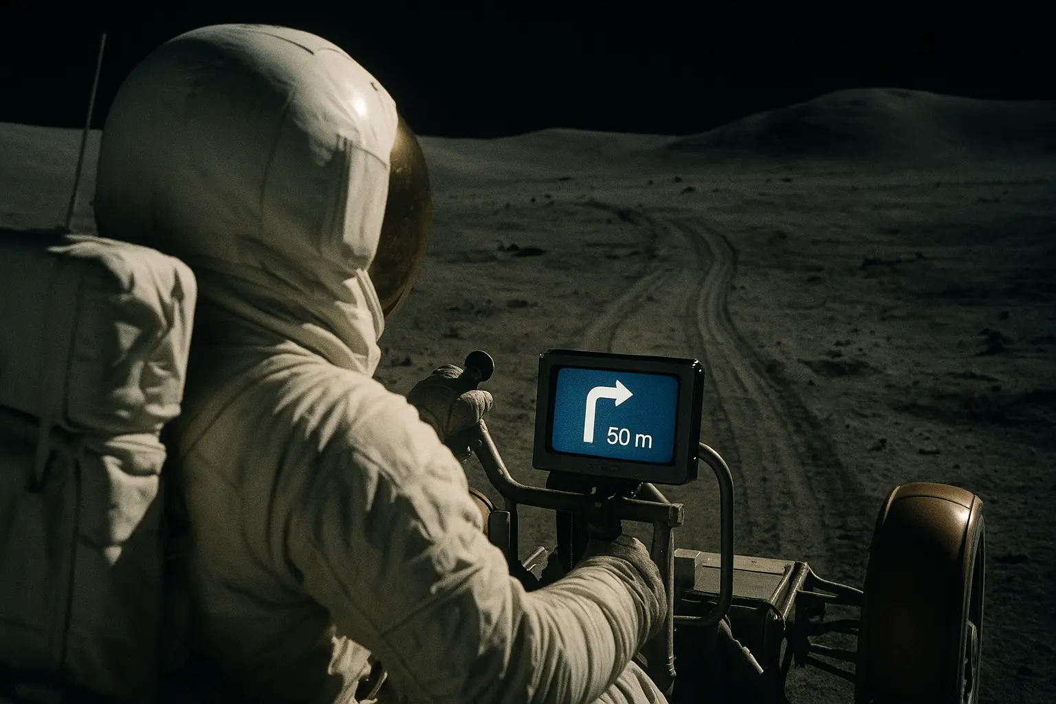
The implications are profound. For NASA’s Artemis II and beyond, this means spacecraft and rovers could navigate independently, reducing reliance on Earth-based tracking stations that require constant human oversight. Kevin Coggins, deputy associate administrator for NASA’s Space Communications and Navigation (SCaN) Program, put it perfectly: “On Earth we can use GNSS signals to navigate in everything from smartphones to airplanes. Now, LuGRE shows us that we can successfully acquire and track GNSS signals at the Moon. This is a very exciting discovery for lunar navigation, and we hope to leverage this capability for future missions.”
Looking ahead, LuGRE’s data is fueling innovations like the European Space Agency’s Moonlight project, led by Italy, which aims to deploy a dedicated lunar navigation constellation. This could enable low-cost, commercial services for lunar operations, supporting robotic and human missions alike. Imagine lunar bases where astronauts use GNSS-enhanced suits for moonwalks, or autonomous vehicles mapping resources without constant Earth intervention. It even sets the stage for Mars exploration, where similar weak-signal tech could be adapted.
Of course, challenges remain. Lunar GNSS faces issues like multipath interference from craters and limited satellite visibility. But LuGRE’s success proves it’s feasible, and the released data will help refine algorithms and hardware. As we mark this milestone in November 2025, with the dataset now in researchers’ hands, the Moon feels a little closer. What was once a distant dream—seamless navigation across the solar system—is now within reach, thanks to international collaboration and ingenious engineering.
This isn’t just about tech; it’s about humanity’s next giant leap. With LuGRE, we’re not just mapping the Moon—we’re making it home.